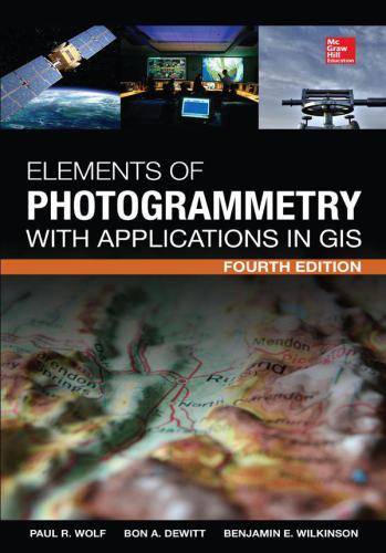
「GIS电子书」Elements of Photogrammetry with Application in GIS(AZW3版本,第四版)
发布时间: 2023-02-26
所属分类: GIS书籍
本书讲述了使用GIS辅助摄影测量的方式及具体实践。
内容简介
- Principles of photography and imaging
- Cameras and other imaging devices
- Image measurements and refinements
- Object space coordinate systems
- Vertical photographs
- Stereoscopic viewing
- Stereoscopic parallax
- Stereoscopic plotting instruments
- Laser scanning systems
- Elementary methods of planimetric mapping for GIS
- Titled and oblique photographs
- Introduction to analytical photogrammetry
- Topographic mapping and spatial data collection
- Fundamental principles of digital image processing
- Photogrammetric applications in GIS
- Control for aerial photogrammetry
- Aerotriangulation
- Project planning
- Terrestrial and close-range photogrammetry
基础信息

作者: Wolf, Paul;DeWitt, Bon;Wilkinson, Benjamin
出版商: McGraw-Hill Education
出版时间: 2013
下载本书
 为了防止资源恶意爬取导致被和谐,此处内容被作者隐藏。
验证码:
关注本站微信公众号,回复“资源下载”,获取验证码。
在微信里搜索“麻辣GIS”或微信扫描右侧二维码即可关注本站微信公众号。
求书 & 分享
如果这里没找到您所以需要的书籍,可以在本文下方留言,并留下您的邮箱,后续有相关资源后会分享给你。
如果您也有相应的书籍可以分享,可以将分享链接放在本文下方留言板中,替其他小伙伴先谢谢你啦~
相关阅读
声明
1.本文所分享的所有需要用户下载使用的内容(包括但不限于软件、数据、图片)来自于网络或者麻辣GIS粉丝自行分享,版权归该下载资源的合法拥有者所有,如有侵权请第一时间联系本站删除。
2.下载内容仅限个人学习使用,请切勿用作商用等其他用途,否则后果自负。
手机阅读
公众号关注
知识星球
手机阅读

最新GIS干货

私享圈子


