「GIS电子书」 Geoinformatics and Modelling of Landslide Susceptibility and Risk: An RS & GIS-based Model Building Approach in the Eastern Himalaya(PDF版本)
本书主要讨论了在东喜马拉雅地区利用遥感和地理信息系统(RS & GIS)构建模型的方法,用于地质灾害滑坡易发性和风险评估的地理信息学和建模。
内容简介
This book discusses various statistical models and their implications for developing landslide susceptibility and risk zonation maps. It also presents a range of statistical techniques, i.e. bivariate and multivariate statistical models and machine learning models, as well as multi-criteria evaluation, pseudo-quantitative and probabilistic approaches. As such, it provides methods and techniques for RS & GIS-based models in spatial distribution for all those engaged in the preparation and development of projects, research, training courses and postgraduate studies. Further, the book offers a valuable resource for students using RS & GIS techniques in their studies.
基础信息
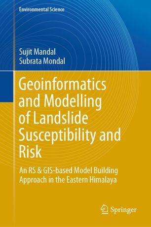
作者: Sujit Mandal, Subrata Mondal
Series: Environmental Science and Engineering
出版商: Springer International Publishing
出版时间: 2019
下载本书
 微信扫一扫关注
1. 微信扫码关注公众号,回复 资源下载 获取验证码
2. 在下方输入验证码并提交查看隐藏内容:
也可在微信搜索公众号“麻辣GIS”关注获取
求书 & 分享
如果这里没找到您所以需要的书籍,可以在本文下方留言,并留下您的邮箱,后续有相关资源后会分享给你。
如果您也有相应的书籍可以分享,可以将分享链接放在本文下方留言板中,替其他小伙伴先谢谢你啦~
相关阅读



声明
1.本文所分享的所有需要用户下载使用的内容(包括但不限于软件、数据、图片)来自于网络或者麻辣GIS粉丝自行分享,版权归该下载资源的合法拥有者所有,如有侵权请第一时间联系本站删除。
2.下载内容仅限个人学习使用,请切勿用作商用等其他用途,否则后果自负。















](https://image.malagis.com/gis00/book-cover/80c2de31163499e85a9b90d6239eb9ac-g.jpg?imageView2/1/w/100/h/70)