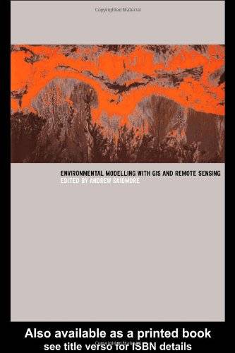
「GIS电子书」Environmental Modelling with GIS and Remote Sensing(PDF版本)
发布时间: 2023-03-02
所属分类: GIS书籍
详细介绍了遥感和GIS在环境建模和评估方面的应用,阐述了当前的研究成果,提供了环境制图和监测的操作方法。
内容简介
- Introduction.
- Taxonomy of Environmental Models in the Spatial Sciences.
- New Environmental Remote Sensing Systems.
- Geographic Data for Environmental Modeling and Assessment.
- The Biosphere: A Global Perspective.
- Vegetation Mapping and Monitoring, Applications of Remote Sensing and Geographic Information Systems in Wildlife Mapping and Modeling.
- Biodiversity Mapping and Modeling. Approaches to Spatially Distributed Hydrological Modeling in a GIS Environment.
- Remote Sensing and Geographic Information Systems for Natural Disaster Management.
- Land Use Planning and Environmental Impact Assessment Using Geographic Information Systems.
基础信息

作者: Andrew Skidmore
Series: Geographic Information Systems Workshop
出版商: CRC Press
出版时间: 2002
下载本书
 为了防止资源恶意爬取导致被和谐,此处内容被作者隐藏。
验证码:
关注本站微信公众号,回复“资源下载”,获取验证码。
在微信里搜索“麻辣GIS”或微信扫描右侧二维码即可关注本站微信公众号。
求书 & 分享
如果这里没找到您所以需要的书籍,可以在本文下方留言,并留下您的邮箱,后续有相关资源后会分享给你。
如果您也有相应的书籍可以分享,可以将分享链接放在本文下方留言板中,替其他小伙伴先谢谢你啦~
相关阅读
声明
1.本文所分享的所有需要用户下载使用的内容(包括但不限于软件、数据、图片)来自于网络或者麻辣GIS粉丝自行分享,版权归该下载资源的合法拥有者所有,如有侵权请第一时间联系本站删除。
2.下载内容仅限个人学习使用,请切勿用作商用等其他用途,否则后果自负。
手机阅读
公众号关注
知识星球
手机阅读

最新GIS干货

私享圈子


